
Geospatial Computational Research
We measure what the ground is actually doing.
RegenX.eco builds terrain and satellite models for coastlines, cities, farmland and the glaciers above them. We build on the public Earth-observation record, we show the arithmetic behind every number, and we publish the tests our own models fail.
site models built, from a 1.6 ha orchard to a 1,965 ha command area
countries — United Arab Emirates, Pakistan, Nepal, China (TAR)
Sentinel-2 acquisitions analysed across the portfolio
of reanalysis climate record behind each site baseline
scale span across which the same engine has been run
What we do
One engine, three questions.
Most geospatial work answers what is there. The decisions our clients face need two more answers: what is changing, and how much of that change is real. The same model produces all three.
Selected work
From Gulf coastlines to Karakoram ice.
Four engagements that show the range: a resort island measured against its own benchmark, a mangrove system priced for blue carbon, a 25 km² urban baseline, and an early-warning system running weekly over nine glaciers.
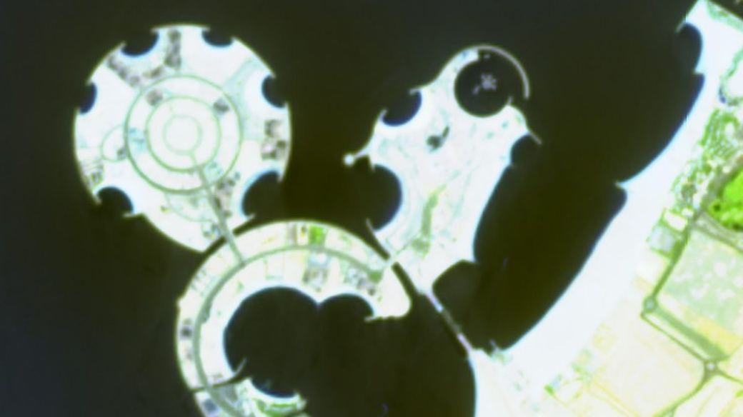
Al Marjan Island, Ras Al Khaimah
Five years of Sentinel-2 show the islands growing 317 → 354 ha while vegetation stays at 3.5% of island land — against 20.9% on a twenty-year-older Palm Jumeirah. A 6.0× gap, and roughly 86 years to close it at the observed rate.
Read the assessment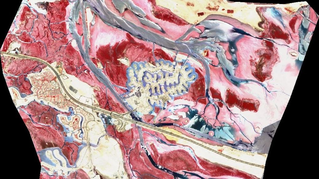
Jubail Island blue carbon, Abu Dhabi
An 11,898 ha tidal system read across 462 clear-sky scenes: ~2,000 ha of established canopy holding an estimated 1.1 Mt CO₂e, and ~1,500 ha of intertidal flat that is restoration-ready.
Read the assessment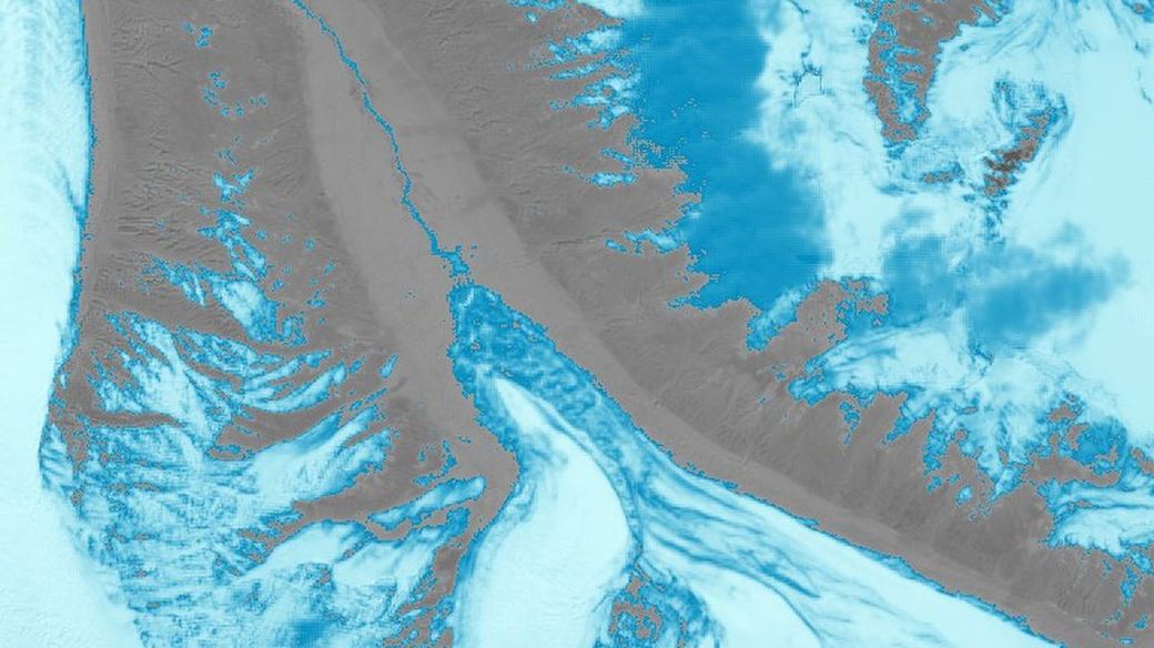
Glacial lake outburst flood early warning
Nine glaciers in Gilgit-Baltistan and Chitral, refreshed weekly. A lake-area precursor warned 7 of 11 documented bursts across two independent lakes with up to 21 days' lead — after the neural model it replaced warned none.
Read the assessment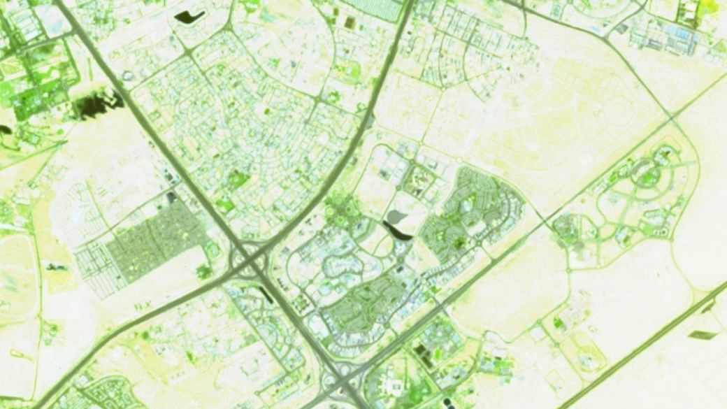
Dubai Silicon Oasis urban baseline
An exact 5×5 km district assembled into 25 geospatial layers and a 26-year build-out record — terrain, drainage, land cover, built form, population and canopy on one frame.
Read the assessmentLayer 03
Validation you can check.
A satellite index will always produce a number. Whether that number means anything is a separate question, and it is the one we spend most of our time on.
Every RegenX engagement ends with the tests we ran against our own conclusions. Where a finding survives, the client gets the statistic that proves it. Where it does not, the finding is withdrawn in writing — before anyone builds a decision on it.
The model that lost, and the one that replaced it
A recurrent neural network trained on weather forcing scored an in-sample ROC-AUC of 0.674 at one glacier. Under honest leave-one-year-out retraining it fell to 0.120 out of sample, below the best single-feature baseline at 0.584, and warned 0 of 15 documented events.
We published that result and rebuilt the system around a physically grounded lake-area precursor instead. It now warns 7 of 11.
Four findings that did not survive
At Al Marjan Island, ordinary least-squares trends produced four publishable headlines. Robustness testing killed all four: one was a water-dominated artefact, one rested on a single leveraged year, one collapsed once serial correlation was accounted for, and one was pure seasonal sampling.
The finding that replaced them is stronger than any of the four, because it survived the same tests.
Where the model is used
Six decisions we are built for.
Coastal & resort development
Land growth, shoreline stability, canopy performance against a comparable benchmark, and the heat and rainfall record the asset will actually operate in.
Urban planning baselines
A single district frame carrying terrain, drainage and inundation history, land cover, built form, population and canopy — the substrate a digital twin needs before it can be trusted.
Blue carbon & restoration
Mangrove and wetland extent, condition and trend; screening-grade carbon estimates with their uncertainty stated; restoration-ready area identified and sized.
Glacial & flood hazard
Lake-fill precursors, ice-dam state, velocity surges, routed arrival times and downstream exposure — with the observation gaps stated as plainly as the alerts.
Agricultural verification
Per-parcel determinations at portfolio scale for lenders, insurers and programme managers — what is planted, what is irrigated, what is performing, delivered as a ranked exception list.
Site & land assessment
Pre-investment screening for farmland, mineral concessions and building platforms: climate envelope, water balance, slope stability, chill hours, frost risk and species fit.
Start here
Tell us about the site.
Send a boundary — a KML, a shapefile, or four corner coordinates — and the question you need answered. The first response tells you what the open record can and cannot resolve for that location, before any engagement.