
Work
Thirty-plus site models across four countries.
Six engagements are written up here in full, chosen because each one shows a different part of the model doing something a single satellite image cannot. Every figure below was produced by the pipeline described in the method.

Al Marjan Island
Land growth, a benchmark comparison against Palm Jumeirah, and a climate record that reframed the asset's real exposure.
Read the assessment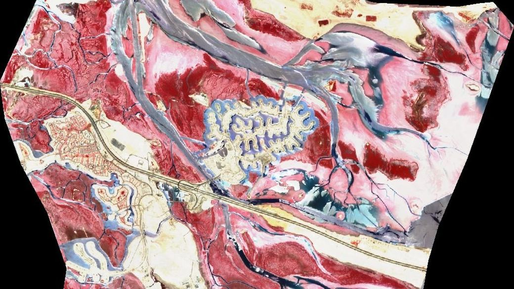
Jubail Island blue carbon
Mangrove extent, condition and stored carbon across an 11,898 ha tidal system — plus the restoration area that is actually available.
Read the assessment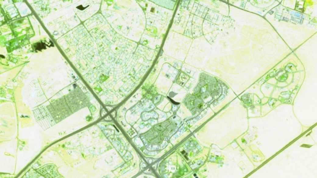
Dubai Silicon Oasis urban baseline
An exact 25 km² district in 25 layers, with a 26-year build-out record from bare desert to infill.
Read the assessment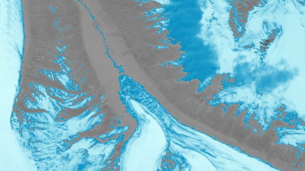
Glacial lake outburst flood early warning
Nine glaciers, refreshed weekly, with validated lead time — and an honest account of where the system is blind.
Read the assessmentAlso written up
Nepal–Tibet transboundary flood, August 2026
Terrain reconstruction of a cross-border disaster — and the retraction of our own central claim.
Agricultural verification at portfolio scale
Per-parcel determinations for lenders and programme managers across three provinces of Pakistan.
Beyond the case studies
Where else the engine has run.
The portfolio behind the six write-ups spans coastal, urban, agricultural, alpine and mineral sites. A selection:
Mangrove extent, externally checked
The same engine mapped 123,400 ha of delta mangrove — a figure that falls between Global Mangrove Watch's 143,900 ha and Delta Blue Carbon's 102,000 ha. Independent agreement from two directions.
When the method has to change
Routing 334 glacier traces at native 30 m resolution showed Chitral's dominant hazard is the englacial water pocket — which has no surface lake to watch, so the lake precursor validated in Gilgit-Baltistan does not transfer. We said so rather than sell it.
Arid-plains planting model
A 163.6 ha site with zero frost but only 200 chill hours and a 1,111 mm annual water deficit — which rules out most of what a buyer would have planted, and points at date, ber and guava instead.
Temperate mountain orchard siting
A 31-year climate baseline against species chill requirements, with the quality-control traps in the satellite record documented alongside the recommendation.
Mineral concession assessment
Licence corners resolved from a legacy Indian Grid survey into WGS84 with an acreage checksum, then screened for alteration signatures — a stress-tested null result, reported as such.
Building platform stability
Two structures on a 21% cut-and-fill bench. The river was ruled out as the hazard; the engineered platform itself is the exposure. Terrain, climate and seismic screening entirely from public archives.
Your site
What would the record say about yours?
Send a boundary and a question. You will get an honest read on what the open archive can resolve there before any commitment.